Back to results Residential Land for Sale in Urasoe, Okinawa - 175.88 sqm

Needs Verification

This listing hasn't been verified recently. Tap to request a priority check!

Know someone who would love this? Gift them a subscription

¥29,800,000

Shiriikyaku 1-chome, Urasoe City, Okinawa Prefecture

沖縄県浦添市勢理客1丁目

Sign in to save properties

Buy Renovation Project Land Needs Renovation Rural

Unlock the full description with a free trial

Includes AI translation, hazard data, cost estimates & nearby amenities

3 days free · cancel anytime

Start Free Trial

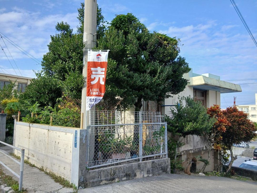
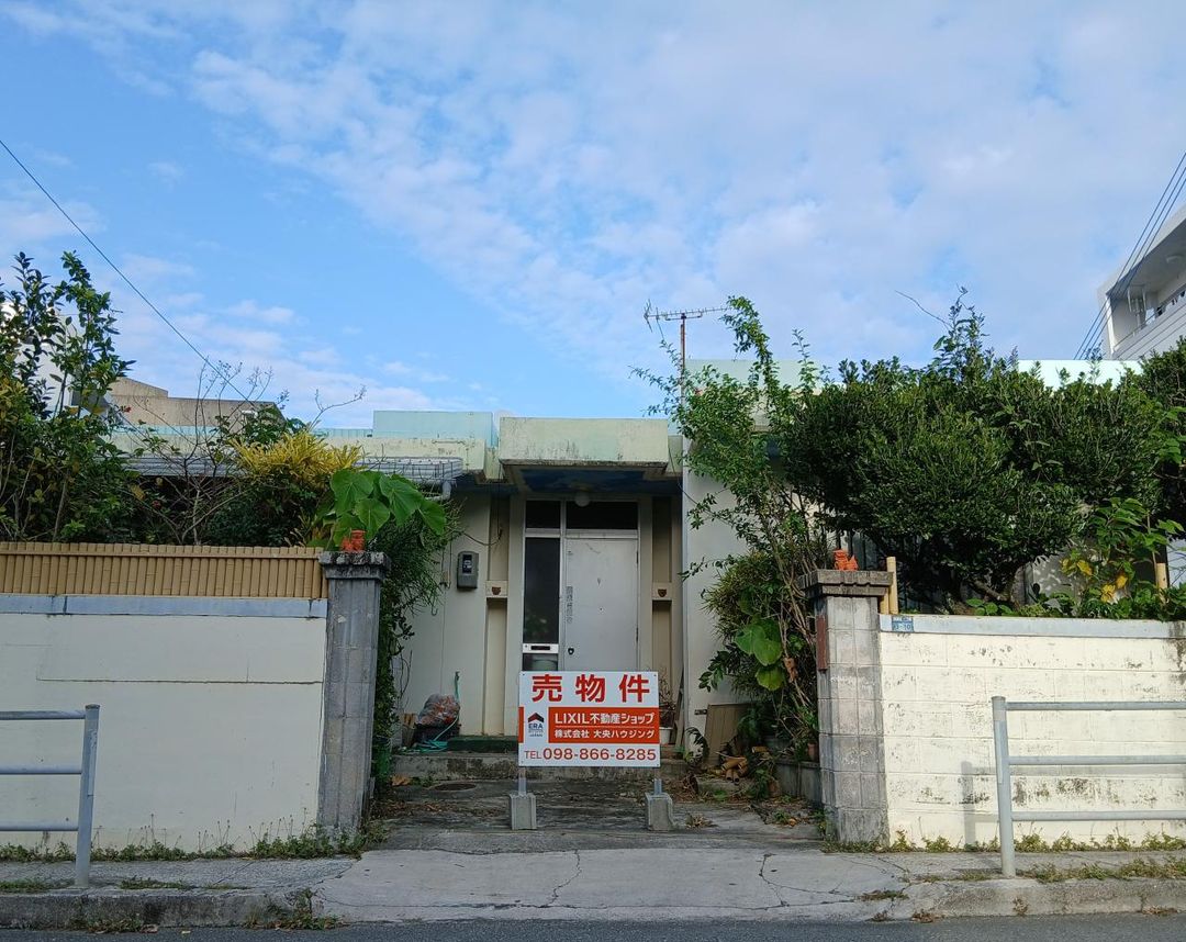
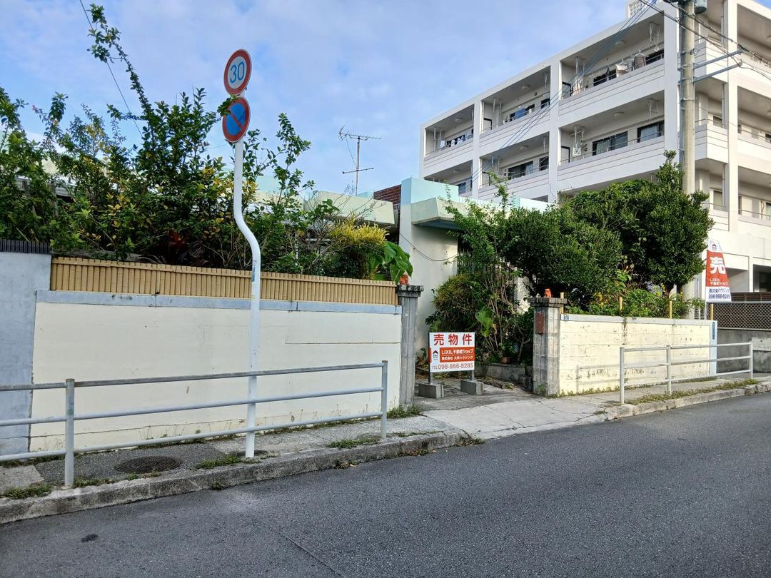
Prime Residential Land in Urasoe, Okinawa

This property is a residential land plot located in Urasoe City, Okinawa Prefecture. The land has a total area of 175.88 square meters (approximately 53.20 tsubo), with a price per tsubo of 560,112 yen. The land is designated as residential land (宅地) within a City Planning Area's urbanization zone (市街化区域) and falls under the First Category Residential District (第一種住居地域) with a building coverage ratio of 60% and a floor area ratio of 200%. The land is sloped (傾斜地). The current condition features an old house (古家). The property rights are ownership (所有権). The optimal intended use is for residential housing (住宅用地). Conditions for rebuilding are subject to consultation (相談). The transaction method is exclusive dedicated agency (専属専任媒介). The handover date is negotiable (相談).

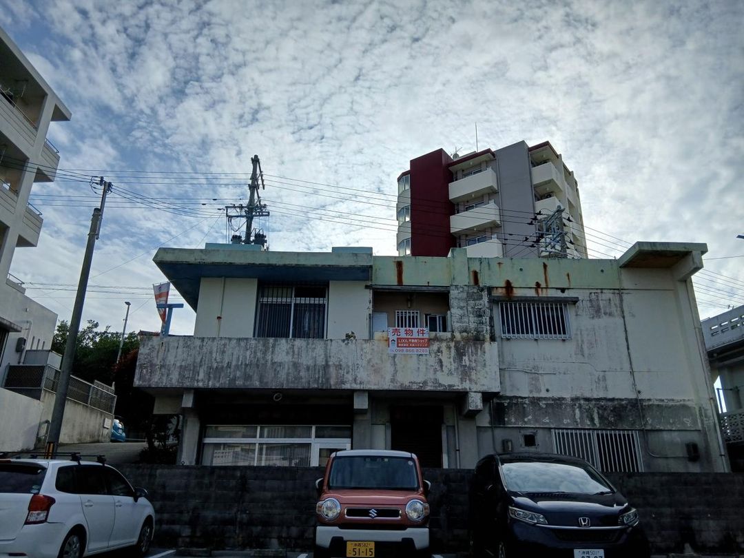
The location offers excellent convenience, with the First Nishi Bus Stop (第一中西バスバス停) just an 11-minute walk away. The plot is situated in the Shiriikyaku 1-chome area of Urasoe City, a residential community known for its quiet atmosphere while remaining well-connected to the urban centers of Naha and Urasoe.

This description was AI-generated from the original Japanese listing and may contain inaccuracies. Please verify details with the source listing.

Summary

Land size: 176 / 1,893sqft

Short-Term Rental (Minpaku)

Transport

Natural Hazard Assessment

Flood Risk Low Risk
Landslide Risk Moderate
Tsunami Risk Low Risk
Earthquake Hazard Moderate

Unlock hazard data with a free trial

Flood, landslide, tsunami & earthquake risk for this property

3 days free · cancel anytime

Start Free Trial

Purchase Cost & Tax Estimates

Agent fees, acquisition tax, registration costs & annual property tax

Map & Street View

Map loading...

Location Accuracy Notice: Although we try to make the map accurate with coordinates or address details provided, the location data is provided by the agent. This map data should be used as reference for the surrounding area foremost.

Location Type Beds Price Land House View

* Sold properties shown for price comparison only. Prices reflect historical sale data.

Location Type Beds Rent/Month Land House View

* Rental prices shown are monthly rates. Contact property owner for current availability.