Back to results
¥3,500,000

Yoshino-cho, Kagoshima City, Kagoshima Prefecture

鹿児島県鹿児島市吉野町

Book Consultation

Source: suumo.jp

Sign in to save properties

Buy Garden Land Parking Quiet Area Freehold

Know someone who would love this? Gift them a subscription

Land for Sale in Yoshino-cho, Kagoshima City

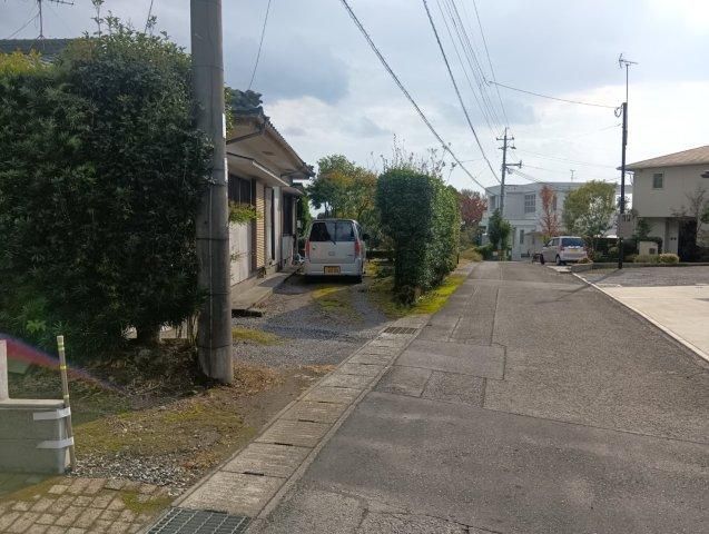
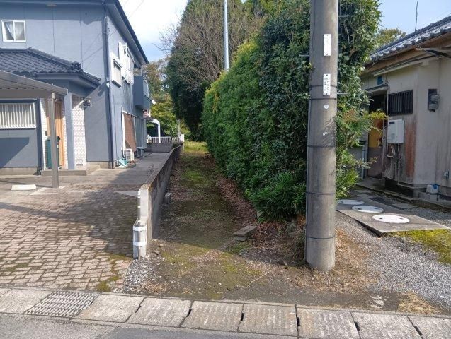
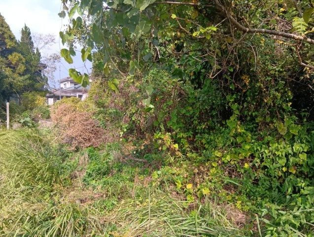
This is a residential building lot located in Yoshino-cho, Kagoshima City, Kagoshima Prefecture. The property is a cleared, flat plot of land with an area of 805 square meters (approximately 243.51 tsubo). The land is designated as a Category 1 Low-Rise Residential Zone, which helps protect future residents' rights to sunlight. There are no building conditions attached to this lot, offering freedom in design and construction.

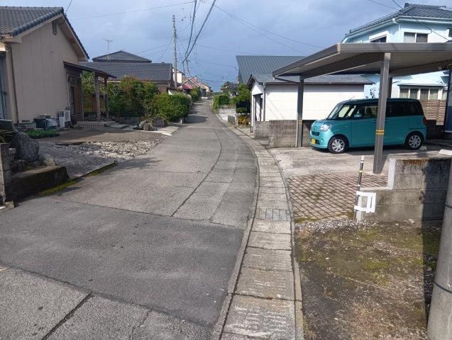
The site is situated in a quiet residential area with low traffic volume. The location offers views of Sakurajima after clearing some trees and is also a good spot for viewing local fireworks displays. The property is large enough to accommodate a substantial garden for those who enjoy gardening, with over 50 tsubo of outdoor space. The land is flat, which facilitates easier and potentially faster construction work.

Access to public transportation includes a 5-minute bus ride from JR Nippo Main Line's Sengan-en Station followed by an 11-minute walk to the bus stop at Buke-dani. Alternatively, JR Tatsu-gami Station is a 99-minute walk, and JR Kagoshima Station is a 13-minute bus ride plus an 11-minute walk. The property is connected to the public water supply and uses individual LPG gas. The building coverage ratio is 40%, and the floor area ratio is 60%. The lot is immediately available for transfer.

This description was AI-generated from the original Japanese listing and may contain inaccuracies. Please verify details with the source listing.

Summary

Land size: 805 / 8,665sqft

Short-Term Rental (Minpaku)

Land Ownership

Transport

FUK

Fukuoka Airport — 218 km away

Nearest Konbini

sunkus Sunkus — 14 min walk

Internet Connectivity

Mobile Coverage

Natural Hazard Assessment

Checking hazard zones...
No hazard zones detected at this location
View official MLIT DisaPortal map

Data: MLIT DisaPortal · Flood, landslide, tsunami & storm surge zones · USGS Earthquake Catalog

Population Trend

This is a subscriber feature

Know whether the area is growing or depopulating before you buy

Start Trial

The figures below split into known costs (set by law and contract — your agent will charge at least these) and tax estimates (depend on the official "fixed asset valuation" the municipality assigns, which isn't confirmed until the transaction progresses). Always confirm exact amounts with your agent before proceeding. Book a consult →

Map & Street View

Map loading...

Location Accuracy Notice: Although we try to make the map accurate with coordinates or address details provided, the location data is provided by the agent. This map data should be used as reference for the surrounding area foremost.

Location Type Beds Price Land House View

* Sold properties shown for price comparison only. Prices reflect historical sale data.

Location Type Beds Rent/Month Land House View

* Rental prices shown are monthly rates. Contact property owner for current availability.