Back to results Land for Sale in Kita Ward, Kyoto - 164.47 sqm Plot

Verified Listing

This property was checked recently and confirmed to still be available. Tap for details.

Verified Listing

This property has been verified in the last month. Our system regularly checks listings to ensure they are still available.

Last verified: April 22, 2026

Know someone who would love this? Gift them a subscription

¥35,800,000

Nishigamo Shinkoin-cho, Kita Ward, Kyoto City, Kyoto Prefecture

京都府京都市北区西賀茂神光院町

Sign in to save properties

Buy Land Suburban Quiet Area

Unlock the full description with a free trial

Includes AI translation, hazard data, cost estimates & nearby amenities

3 days free · cancel anytime

Start Free Trial

Land for Sale in Kyoto's Kita Ward

This plot of land is located in Nishigamo Shinkoin-cho, Kita Ward, Kyoto City. The site has a total land area of 164.47 square meters (49.75 tsubo) and is offered for sale at a price of 35.8 million yen. The property benefits from road frontage on two sides, with the north side measuring approximately 6 meters wide and the south side approximately 5.9 meters wide. There are no specific building conditions attached to the land.

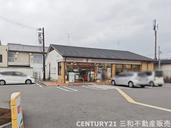
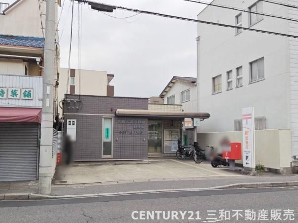
The location offers convenient access to daily amenities. A 24-hour Seven-Eleven convenience store is within a 230-meter walk, and a Sugi Pharmacy is 260 meters away. Other nearby facilities include a Ministop convenience store, MG Shop supermarket, a post office, and a credit union. The area is served by public transportation, with bus access available; the "Omiya Sogomoncho" bus stop is a 3-minute walk away, providing a 15-minute bus connection to Kitayama Station on the Kyoto Municipal Subway Karasuma Line.

According to the agent's notes, the current status is: "If you wish to see the property in person, please feel free to contact us with your preferred date for a free viewing." Additional remarks state: "[Property Code] 094901-37837. There is a separate road burden of 1.32 square meters (same ward, same town, No. 155)."

The land is situated within a City Planning Area designated as an urbanization zone. The land use category is residential land, and the zoning is categorized as a Category I Low-Rise Exclusive Residential District, with a building coverage ratio of 50% and a floor area ratio of 80%. The property rights are freehold (ownership).

This description was AI-generated from the original Japanese listing and may contain inaccuracies. Please verify details with the source listing.

Summary

Land size: 164 / 1,770sqft

Short-Term Rental (Minpaku)

Transport

ITM

Osaka International Airport — 41 km away

Nearby Konbini

Seven Eleven Seven Eleven — 2 min walk

Internet Connectivity

Natural Hazard Assessment

Flood Risk Low Risk
Landslide Risk Moderate
Tsunami Risk Low Risk
Earthquake Hazard Moderate

Unlock hazard data with a free trial

Flood, landslide, tsunami & earthquake risk for this property

3 days free · cancel anytime

Start Free Trial

Purchase Cost & Tax Estimates

Agent fees, acquisition tax, registration costs & annual property tax

Airbnb Revenue Estimate

Projected nightly rate, occupancy & net income for this property

Investment ROI

Annual yield, break-even timeline & 10-year return projection

Map & Street View

Map loading...

Location Accuracy Notice: Although we try to make the map accurate with coordinates or address details provided, the location data is provided by the agent. This map data should be used as reference for the surrounding area foremost.

Location Type Beds Price Land House View

* Sold properties shown for price comparison only. Prices reflect historical sale data.

Location Type Beds Rent/Month Land House View

* Rental prices shown are monthly rates. Contact property owner for current availability.