Back to results
¥800,000

Wakuya, Miyagi Prefecture

宮城県遠田郡涌谷町涌谷字内林

Book Consultation

Source: www.hatomarksite.com

Sign in to save properties

Buy Land Rural Near School Near Shopping Freehold

Know someone who would love this? Gift them a subscription

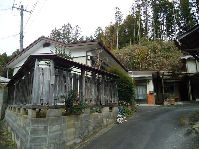
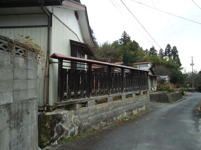
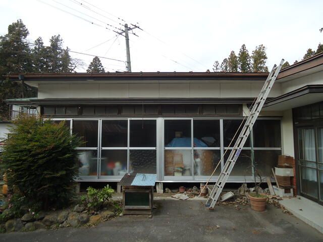
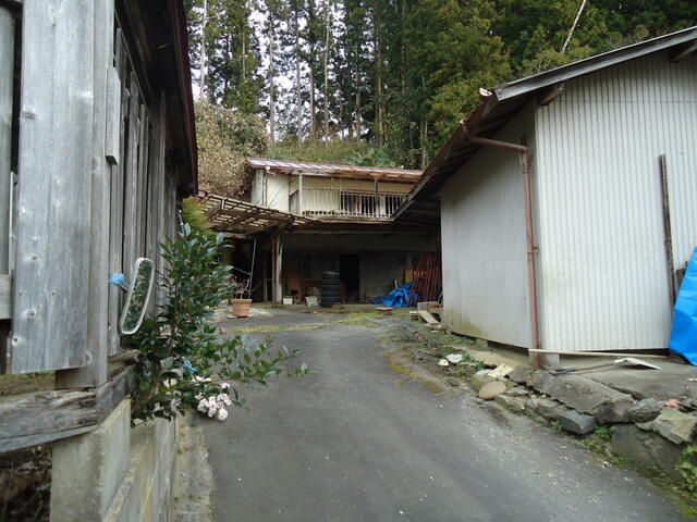
Residential Land Plot in Wakuya, Miyagi Prefecture

This residential land plot, located in the Wakuya area of Miyagi Prefecture, offers a substantial 462.34 square meters (approximately 139.85 tsubo) of space in a peaceful setting. The property is designated as residential land (宅地) within a non-city planning area (非線引区域), with a building-to-land ratio of 70% and a floor area ratio of 200%, providing ample scope for construction.

According to the agent's special notes, the property will be transferred in its current condition (現況有姿渡し). The buyer will be responsible for the cost of removing any remaining items from both inside and outside the site and buildings. The seller's liability for defects in the contract is exempted (契約不適合責任は免責). The boundaries will not be explicitly indicated (境界非明示). Essential utilities including electricity and a public water supply are available on-site.

The location provides convenient access to daily necessities, with Aeon Super Center Wakuya store within a reasonable distance. The area is served by local schools and public facilities. Wakuya is a historic town in Miyagi, known for its connection to Japan's first gold mine, discovered in the 8th century. The region offers a blend of rural tranquility and historical significance. For visitors, a notable nearby landmark is the scenic Naruko Gorge, famous for its vibrant autumn colors and hot spring resorts.

This description was AI-generated from the original Japanese listing and may contain inaccuracies. Please verify details with the source listing.

Summary

Land size: 462 / 4,977sqft

Short-Term Rental (Minpaku)

Land Ownership

Transport

NRT

Narita International Airport — 316 km away

Nearby Konbini

Seven Eleven Seven Eleven — 14 min walk
Family Mart Family Mart — 27 min walk (5 min drive)

Internet Connectivity

Mobile Coverage

Natural Hazard Assessment

Checking hazard zones...
No hazard zones detected at this location
View official MLIT DisaPortal map

Data: MLIT DisaPortal · Flood, landslide, tsunami & storm surge zones · USGS Earthquake Catalog

Population Trend

This is a subscriber feature

Know whether the area is growing or depopulating before you buy

Start Trial

The figures below split into known costs (set by law and contract — your agent will charge at least these) and tax estimates (depend on the official "fixed asset valuation" the municipality assigns, which isn't confirmed until the transaction progresses). Always confirm exact amounts with your agent before proceeding. Book a consult →

Map & Street View

Map loading...

Location Accuracy Notice: Although we try to make the map accurate with coordinates or address details provided, the location data is provided by the agent. This map data should be used as reference for the surrounding area foremost.

Location Type Beds Price Land House View

* Sold properties shown for price comparison only. Prices reflect historical sale data.

Location Type Beds Rent/Month Land House View

* Rental prices shown are monthly rates. Contact property owner for current availability.