Building Plot in Murasakino, Kita Ward, Kyoto
This is a building plot for sale located in Murasakino Junichō-chō, Kita Ward, Kyoto City, Kyoto Prefecture. The property has a land area of 52.54 m² (15.89 tsubo, actual measurement). The price is 12,700,000 yen, with a unit price of 799,000 yen per tsubo. The land is zoned as a Category 1 Residential Zone with a building coverage ratio of 60% and a floor area ratio of 160%. There are no building conditions attached, allowing for free design.
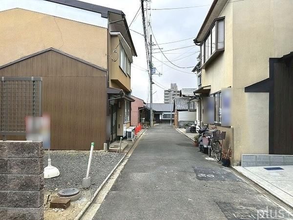
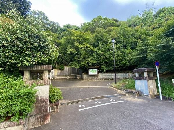
Access to public transportation is via the Kyoto City Subway Karasuma Line's Kitaoji Station, which is a 15-minute bus ride followed by a 4-minute walk from the Senbon-Kitaoji bus stop, or a 25-minute walk from Kitano-Hakubaicho Station on the Keifuku Electric Railway Kitano Line. The property faces a 3.5-meter wide private road to the west, with a frontage of 5.5 meters. There is a set-back requirement and a separate private road burden area of approximately 11.10 m². A boundary confirmation document with the adjacent land is available. A ground survey and ground improvement are to be borne by the buyer. The east side features a stone masonry retaining wall with a level drop of approximately 1.2 meters. The estimated equivalent of the fixed asset tax for fiscal year 2025 is 24,700 yen (based on building land assessment), and the estimated registration and license tax for ownership transfer is 111,700 yen. The removal of an encroaching tree branch from the southern neighbor and the adjacent house's protective measures have been completed. The property is located in a high-altitude area, scenic district, and quasi-fire prevention zone, and is subject to the Cultural Properties Protection Law and Landscape Law. It is also within an old city-type scenic district, a 15m Type 2 height control area, and a buried cultural property zone (Kitayama Rendaiji Temple precinct). The property code is 179801-6846. The property is in a flat location and utilities include public water, city gas, and a sewer system. For any inquiries, please feel free to contact us for a free viewing at your preferred date and time.