Expansive Landholding with Historic Structures in Imizu City, Toyama
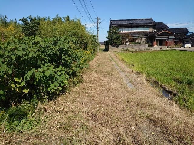
This property comprises a substantial 4,698 square meter land parcel located in Minamitakagi, Imizu City, Toyama Prefecture. The site is designated as residential land within a urbanization control area, and it currently features several existing wooden structures. The land is accessed via roads on three sides: a 6-meter-wide public road to the south with an 80-meter frontage, and 3-meter-wide public roads to the west and east, each with a 60-meter frontage. Utilities available include propane gas, a public water supply, a sewage system, and electricity.
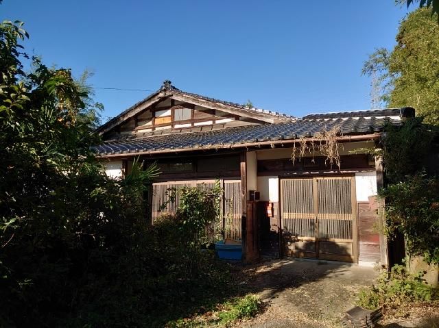
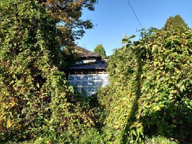
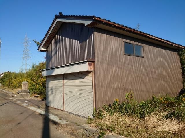
The existing buildings consist of an older main house and a newer annex. The main house, constructed in 1935 (Showa 10), is a single-story wooden building of approximately 80 tsubo (about 264 square meters). It contains the primary living facilities including a kitchen, a Western-style toilet, a unit bath, and entryways for both family and guests. The annex, built in 1940 (Showa 15), is a two-story wooden structure with a total floor area of approximately 60 tsubo (about 198 square meters). It was designed for guests, featuring a large open hall and two Japanese-style rooms on each floor. The second floor offers expansive views: the Tateyama Mountain Range to the east, Mount Nijo to the west, the Gokayama mountains to the south, and the Shinminato Bridge to the north. Additionally, there are two earthen storehouses (kura) on the property, constructed in 1928 (Showa 3). Other structures include a carport building of about 30 tsubo (approx. 99 sqm) and a dilapidated storage shed of about 10 tsubo (approx. 33 sqm). The site is heavily wooded with numerous trees, creating a forest-like atmosphere that requires underbrush and perimeter weeding.
The land is not entirely residential; as indicated on the official cadastral map, portions include former rice fields and are currently classified as mixed-use land. The seller notes that historically, rice was transported from a nearby river by small boat to the mouth of Toyama Bay, and then onward to Hokkaido via Kitamae-bune trading ships, indicating this was the estate of a long-established landlord family. It is critical to understand that because the property lies in an urbanization control area, there are significant regulatory restrictions on new construction. If the existing buildings are demolished, rebuilding is generally not permitted unless for a clearly public-benefit project under a development permit. The seller suggests that the unusable structures should likely be demolished, and that clearing the land of buildings and trees would incur considerable cost. The ideal buyer would be someone who appreciates the natural, forest-bathing environment, can make use of the existing annex for residence, or can operate a facility for which permission might be granted. The carport at the southern entrance is believed to date from around 1965 (Showa 40s).