Back to results
1d ago
¥2,900,000

Nagasaka 8, Kani City, Gifu Prefecture

岐阜県可児市長坂8

Book Consultation

Source: suumo.jp

Sign in to save properties

Buy Land Parking Suburban Near School Near Shopping Freehold

Know someone who would love this? Gift them a subscription

Land for Sale in Nagasaka, Kani City, Gifu Prefecture

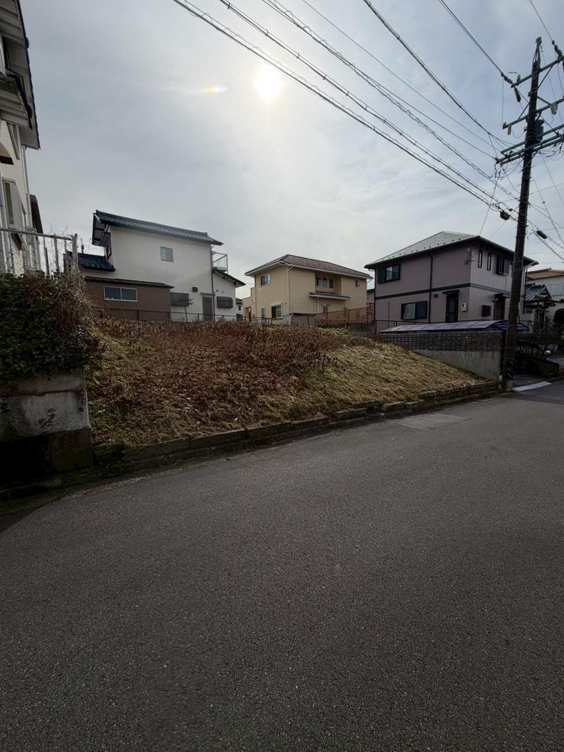
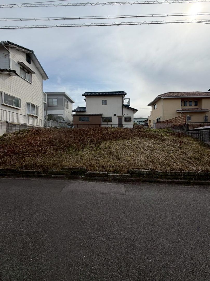
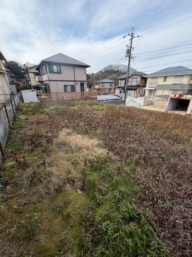
This is a vacant plot of land located in the Nagasaka 8-chome area of Kani City, Gifu Prefecture. The land is being offered for sale at a price of 2,900,000 yen. The registered land area is 200.1 square meters, which equates to approximately 60.52 tsubo, offering ample space for construction. The site is a cleared plot of land, ready for development.

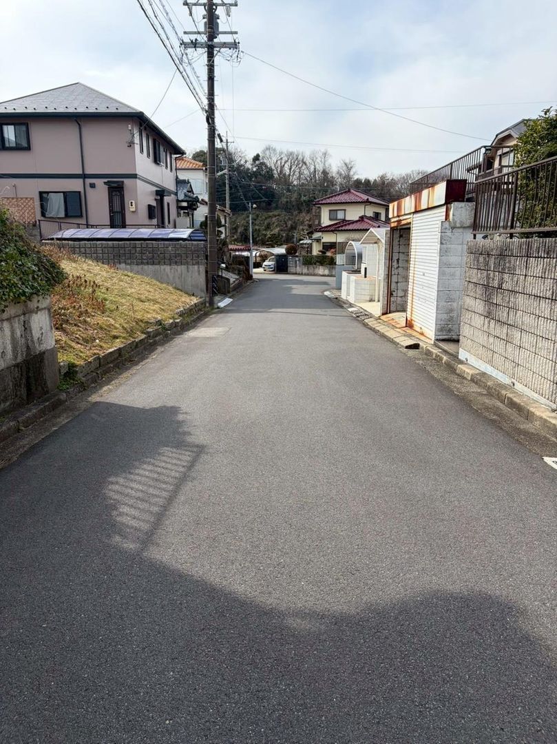
The property benefits from public water supply and a main sewage system, with individual LPG gas for energy needs. The building coverage ratio is 50 percent, and the floor area ratio is 80 percent. The land is zoned as Category 1 Low-Rise Residential Area, indicating it is designated for low-rise residential use. There is no private road burden, and the property fronts a north-facing road with a width of 5.5 meters. The land rights are freehold ownership.

The property is located a 27-minute walk from Nishi Kani Station on the Meitetsu Hirohashi Line. For daily shopping, the Valor Nishi Kani store is a 5-minute drive away. The area is also home to the Minami Katabira Elementary School, which is within a 20-minute walking distance. Other nearby amenities include the Juroku Bank Nishi Kani Branch and the Nishi Kani Ekimae Post Office, making this a convenient location for families. The plot's orientation allows for natural light from three sides, and there is flexibility for future building plans, including the possibility of a home with a garden and parking for two cars.

This description was AI-generated from the original Japanese listing and may contain inaccuracies. Please verify details with the source listing.

Summary

Land size: 200 / 2,154sqft

Short-Term Rental (Minpaku)

Transport

Nearest Konbini

sunkus Sunkus — 9 min walk

Internet Connectivity

Mobile Coverage

Natural Hazard Assessment

Preview: Hazard data is free for your first 3 property views. Subscribe for unlimited access.

Checking hazard zones...
No hazard zones detected at this location
View official MLIT DisaPortal map

Data: MLIT DisaPortal · Flood, landslide, tsunami & storm surge zones · USGS Earthquake Catalog

Population Trend

This is a subscriber feature

Know whether the area is growing or depopulating before you buy

Start Trial

Estimates only. Actual costs vary by property, municipality, and transaction details. Book a consult →

Map & Street View

Map loading...

Location Accuracy Notice: Although we try to make the map accurate with coordinates or address details provided, the location data is provided by the agent. This map data should be used as reference for the surrounding area foremost.

Location Type Beds Price Land House View

* Sold properties shown for price comparison only. Prices reflect historical sale data.

Location Type Beds Rent/Month Land House View

* Rental prices shown are monthly rates. Contact property owner for current availability.