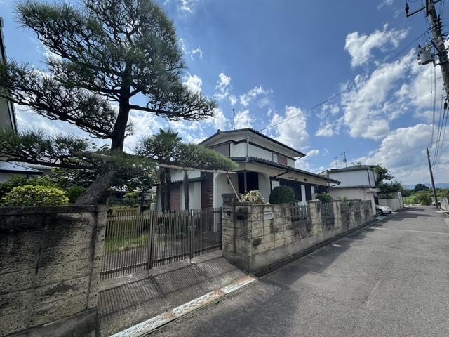
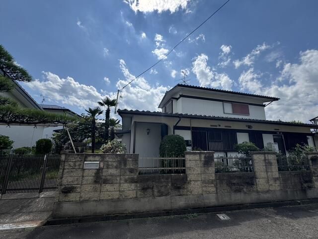
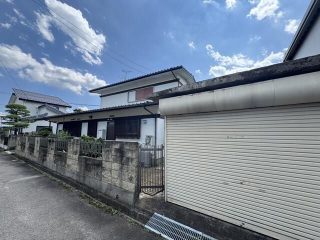
Land for Sale in Fukushima City with Rebuilding Potential
This is a plot of land for sale located in the Kamata area of Fukushima City, Fukushima Prefecture. The land has a surveyed area of 339.48 square meters, which is approximately 102.69 tsubo. The property is designated as residential land within an urbanization control area, but it is possible to rebuild on the site, subject to certain conditions.
The property is equipped with essential utilities including a water supply, a septic tank, side ditches, and electricity. The water supply has been drawn in with a 20mm pipe and a 20mm meter is installed. Please note that the main water pipe within the front road is a privately owned pipe. The land is situated in an area that requires treatment via a septic tank system.
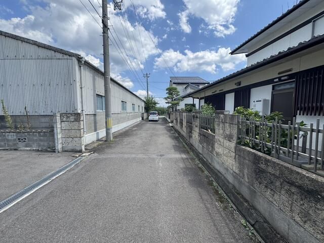
Regarding the road access, the property fronts a 4.4-meter-wide private road to the north, with a road frontage of 22 meters. The road is a designated position-specified road; however, the seller does not hold any ownership shares in this road. Depending on the results of a survey of the position-specified road, there is a possibility that the land may need to be set back depending on the road shape and width. If a voluntary setback is made, the site area will decrease. A permit under Article 43 of the City Planning Act is required.
The existing building on the land will be demolished by the seller after the contract is signed, and the property will be delivered as cleared land. The cost of applying for permission to rebuild will be borne by the buyer. The boundary of the land will be confirmed after the contract is signed, with the cost borne by the seller.
The property is not located within a designated archaeological site. According to the flood hazard map, the area is classified as having less than 0.5 meters of flooding, with a very small portion potentially experiencing 0.5 to 3.0 meters of flooding. The internal water hazard map indicates this area is not expected to suffer damage from inland flooding. The school district is primarily Kamata Elementary School, with the option of Azuma Elementary School, and primarily Hokushin Junior High School.