Back to results Building Plot for Sale in Kizugawa, Kyoto - 263.15 sqm

Verified Listing

This property was checked recently and confirmed to still be available. Tap for details.

Verified Listing

This property has been verified in the last month. Our system regularly checks listings to ensure they are still available.

Last verified: April 22, 2026

Know someone who would love this? Gift them a subscription

¥17,900,000

Kamo-cho Sato, Kizugawa City, Kyoto Prefecture

京都府木津川市加茂町里土堀

Sign in to save properties

Buy Land Parking Rural

Unlock the full description with a free trial

Includes AI translation, hazard data, cost estimates & nearby amenities

3 days free · cancel anytime

Start Free Trial

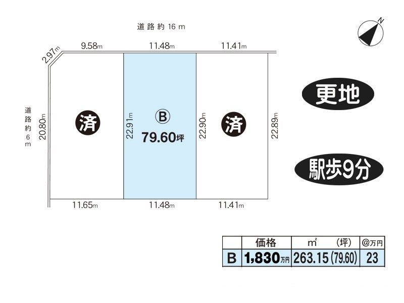
Building Plot in Kizugawa City, Kyoto Prefecture

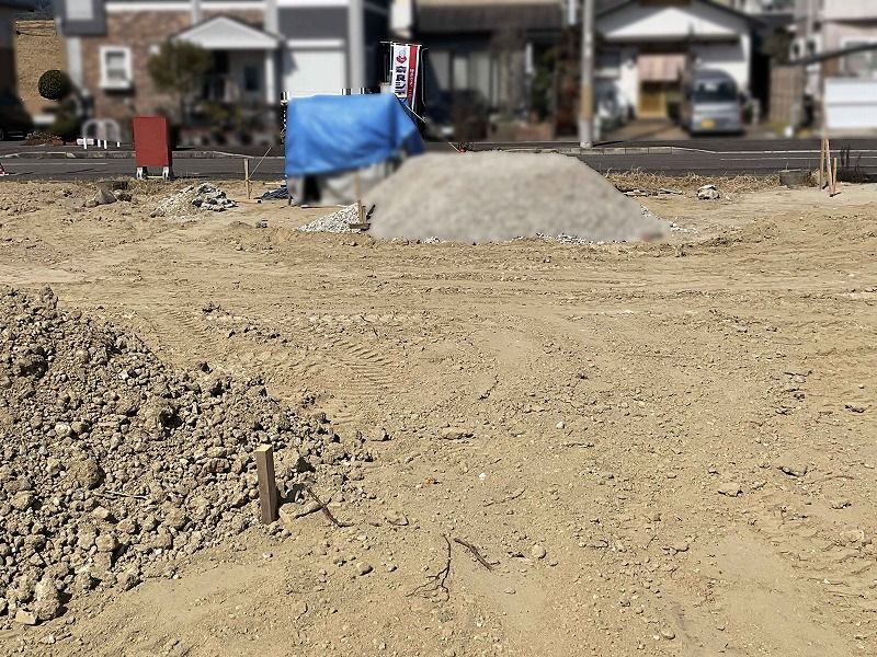
This is a vacant building plot (Lot B) located in Kamo-cho Sato, Kizugawa City, Kyoto Prefecture. The property has a land area of 263.15 sqm (approx. 79.6 tsubo) and is priced at 17,900,000 yen. It is a 9-minute walk from Kamo Station on the JR Kansai Main Line, offering convenient access to public transport. The land is zoned as a Category 1 Medium-to-High-Rise Residential District, with a building coverage ratio of 60% and a floor area ratio of 200%. There are no building conditions attached, allowing for flexible construction plans. The property is currently a cleared plot (sarachi).

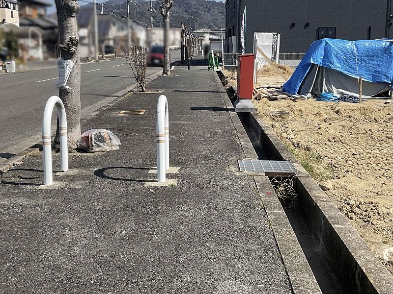
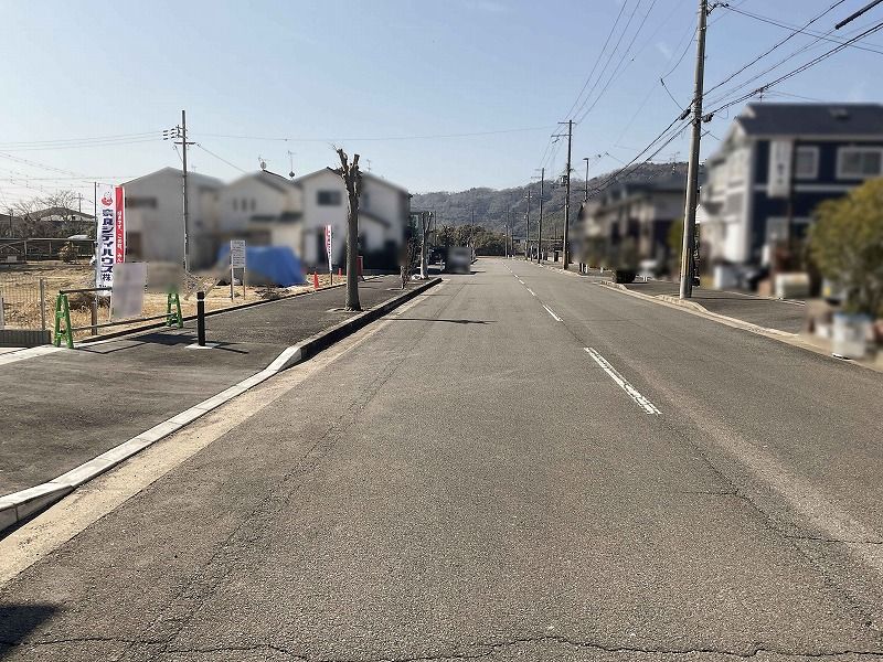
The site faces a 16-meter wide public road to the northwest, with no required setback. Utilities include propane gas and a sewage system. The property is ready for immediate transfer.

Nearby amenities include a Lawson convenience store (7 minutes walk, 500m), Sunfresh Kamo supermarket (12 minutes walk, 960m), Ki no Uta Kamo drugstore (12 minutes walk, 930m), and Gourmet City Kamo (9 minutes by car, 2.9km). The Yamashiro Kamo Post Office is an 8-minute walk (580m), and the Kyoto Yamashiro General Medical Center is an 18-minute drive (6.3km). The nearest park, Chumonden Park, is just a 2-minute walk (100m) away. National Route 163, at the Kaiyuzanji-guchi intersection, is a 4-minute drive (1.6km). Kamo Elementary School is a 14-minute walk (1,090m).

For viewing inquiries, please feel free to contact the agent at your preferred date and time.

This description was AI-generated from the original Japanese listing and may contain inaccuracies. Please verify details with the source listing.

Summary

Land size: 263 / 2,833sqft

Short-Term Rental (Minpaku)

Transport

ITM

Osaka International Airport — 39 km away

Nearby Konbini

Lawson Lawson — 4 min walk

Internet Connectivity

Natural Hazard Assessment

Flood Risk Low Risk
Landslide Risk Moderate
Tsunami Risk Low Risk
Earthquake Hazard Moderate

Unlock hazard data with a free trial

Flood, landslide, tsunami & earthquake risk for this property

3 days free · cancel anytime

Start Free Trial

Purchase Cost & Tax Estimates

Agent fees, acquisition tax, registration costs & annual property tax

Airbnb Revenue Estimate

Projected nightly rate, occupancy & net income for this property

Investment ROI

Annual yield, break-even timeline & 10-year return projection

Map & Street View

Map loading...

Location Accuracy Notice: Although we try to make the map accurate with coordinates or address details provided, the location data is provided by the agent. This map data should be used as reference for the surrounding area foremost.

Location Type Beds Price Land House View

* Sold properties shown for price comparison only. Prices reflect historical sale data.

Location Type Beds Rent/Month Land House View

* Rental prices shown are monthly rates. Contact property owner for current availability.